Description:
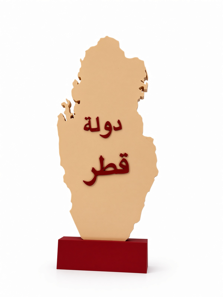
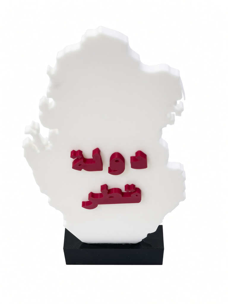
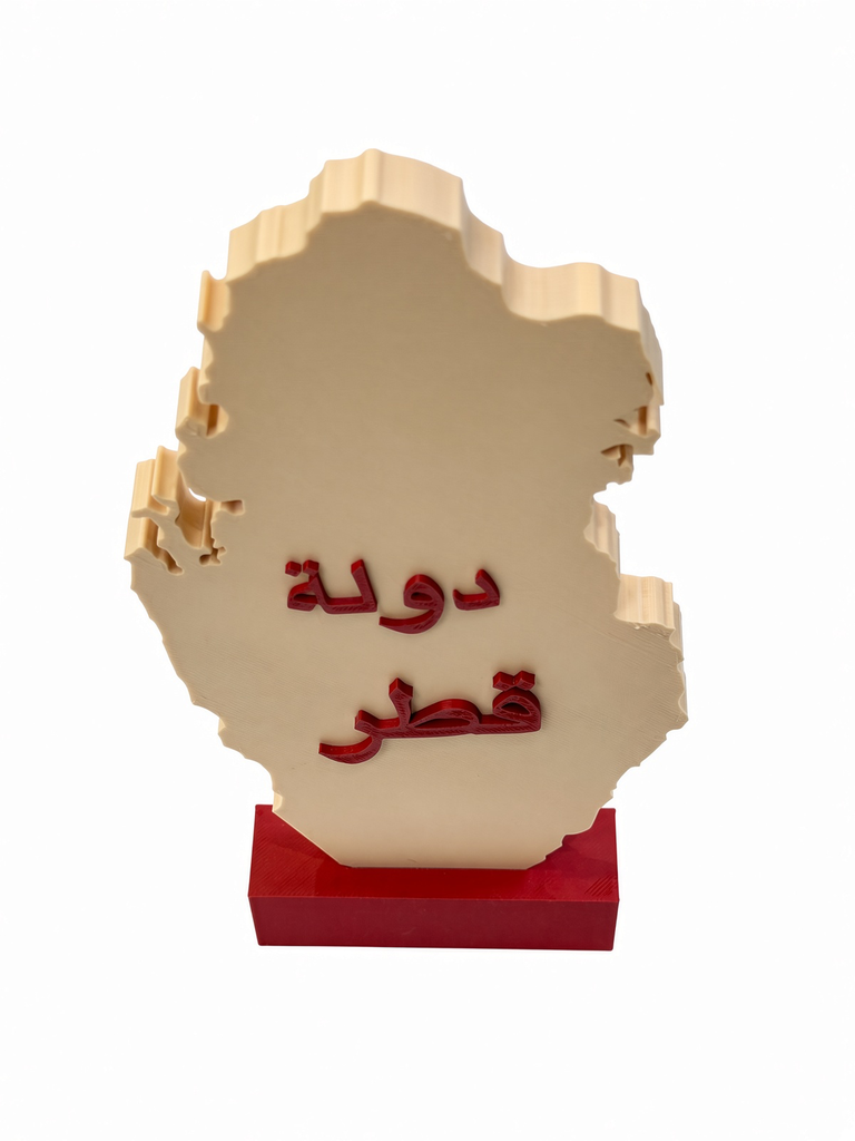
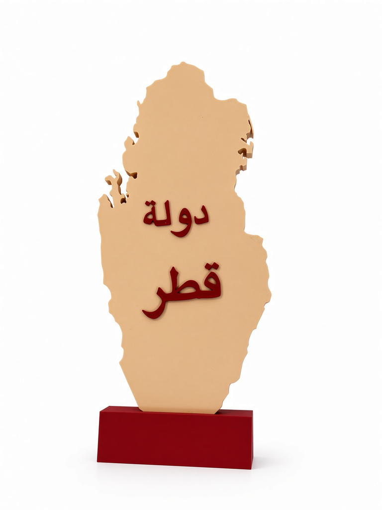
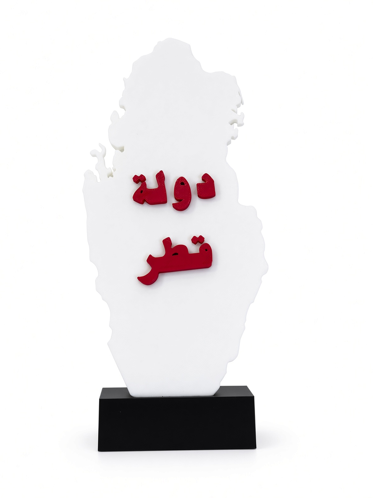
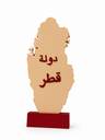
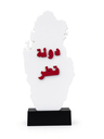
The 3D Printed Educational Map of the State of Qatar is an innovative learning resource tailored for schools, educators, and parents. This tactile model transitions students from flat, abstract map concepts to a physical, three-dimensional understanding of Qatar's geography, borders, and coastlines. Featuring bold, embossed Arabic typography that reads "State of Qatar", this model instills civic pride while remaining highly functional. Crafted from top-tier, non-toxic, and biodegradable PLA plastic, it offers robust durability ensuring it withstands active classroom interaction and student handling.
Specifications:
- Product Type: 3D Tactical Geographical Educational Model.
- Material: Premium, impact-resistant, eco-friendly PLA plastic.
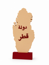
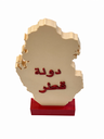
- Design: High-definition 3D peninsula layout featuring a solid integrated desktop stand (available in white and maroon/beige variations).
- Best Used For: School geography labs, elementary classrooms, kids' study desk decor, and Qatar National Day displays.
Educational Benefits:
- Tactile & Visual Learning: Helps students grasp the topography and unique peninsula shape of Qatar through hands-on exploration.
- Geographical Boundary Identification: Makes it easy for children to understand cardinal directions, coastal lines, and neighboring boundaries.
- Civic Pride & Cultural Connection: Fosters national identity and belonging during school activities and national celebrations.
- Interactive Teaching Aid: An excellent visual tool for educators to simplify geography and social studies lessons in classrooms.